
Navigating Hydrological Volatility: The Southern Flood Outlook
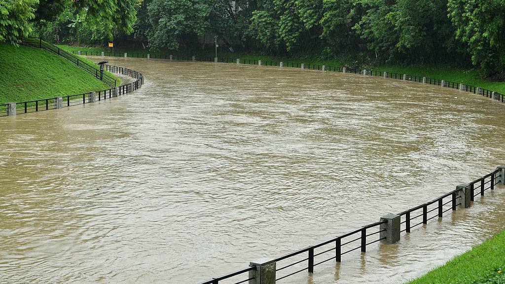
As we move through late June 2026, the southern regions of China are bracing for a high-intensity atmospheric cycle that necessitates a rigorous focus on hydrological safety. The Ministry of Water Resources has forecasted a significant surge in precipitation from June 28 through July 3, impacting vast swathes of the country, particularly south of the Yangtze River. This upcoming window of heavy rainfall is not merely a seasonal weather event; it is a critical period that requires a data-driven approach to water management and emergency preparedness to protect both critical infrastructure and local populations.
The geographic scope of this forecast—covering parts of central China’s southern Hubei, as well as northern Jiangxi, northern Hunan, southern Guizhou, and northwestern Guangxi—indicates a wide-reaching weather pattern that will significantly stress the river basins. The expected rise in water levels across the Yangtze and Pearl River basins, as well as the areas surrounding Taihu Lake, serves as a prompt for regional authorities to activate advanced flood-mitigation protocols. This includes the coordinated operation of major reservoirs and the heightened patrol of levees and embankments, which are the primary defensive assets against flooding in our major river arteries.
For those overseeing water resource departments, the directive is clear: the focus must remain on precision. This means strengthening forecasting capabilities to extend "early warning lead times," a strategy that has become increasingly effective with the integration of digital twin systems for basin management. Given that the current flood season has already seen a 50 percent increase in rivers exceeding alert thresholds compared to the five-year average, the margin for error is shrinking. The priority is to implement a unified, coordinated operation of these major projects, ensuring that drainage, storage, and flood-detention areas are synchronized to optimize safety outcomes.
This period of volatility underscores the "grim and complex" nature of flood control in the new era. Beyond the macro-level basin management, there is a clear mandate to tighten monitoring for "medium and small rivers" and mountain torrents, which are often the most unpredictable threats in hilly terrains. As we manage this risk, the principle of "quality-first" maintenance—patrolling infrastructure, securing project sites under construction, and ensuring the stability of urban and rural water supplies—remains our best strategy for minimizing disruption.
Ultimately, these regional weather updates serve as a reminder that robust infrastructure is only as effective as the management strategies governing it. By leveraging real-time hydrological data and maintaining a state of high readiness, we can navigate these heavy rainfall events with the necessary precision to safeguard both lives and long-term economic stability.
News source: https://peoplesdaily.pdnews.cn/china/er/30052514406